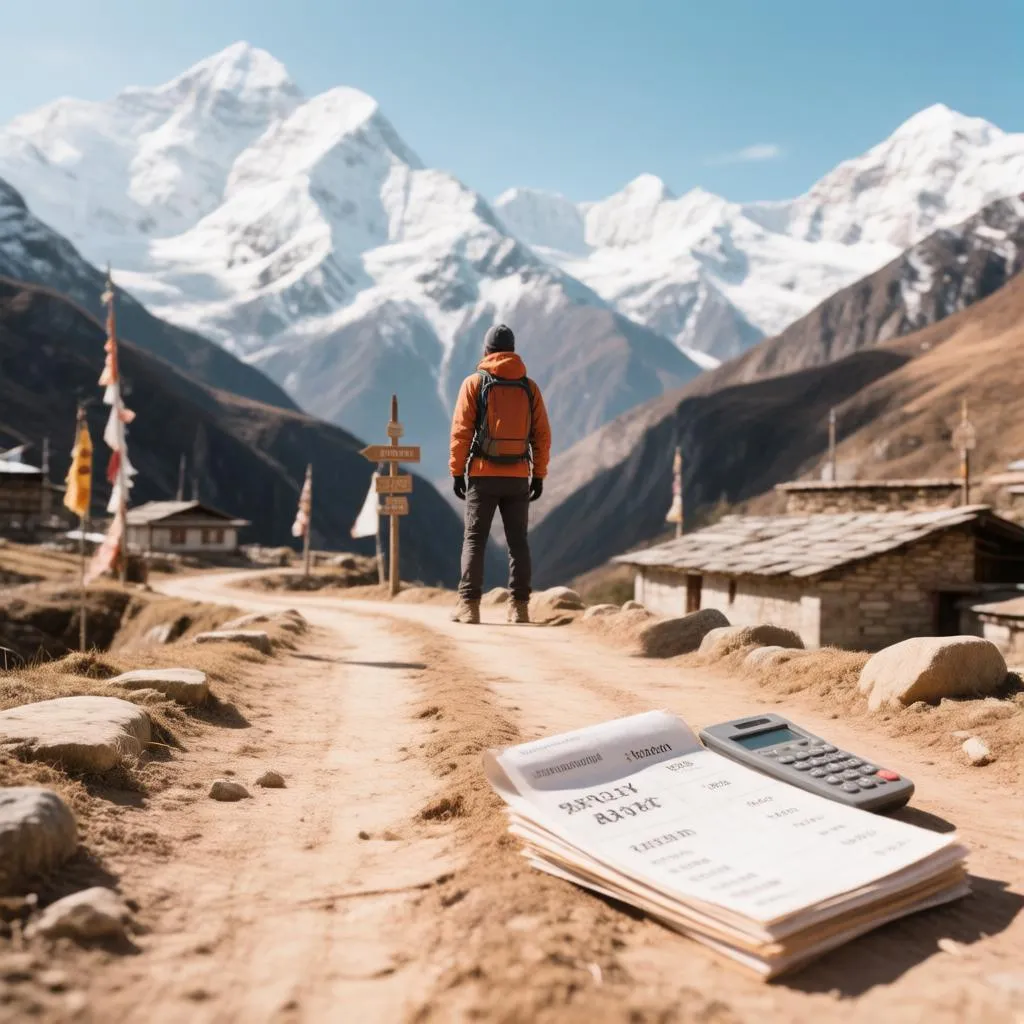
Every year, trekking forums fill with the same anxious question: has the road swallowed the Annapurna Circuit yet? The short answer for 2026 is no — but it has redrawn the map in ways that old guidebooks and two-year-old blog posts no longer describe. Jeep tracks now reach deep into the Manang valley and run along much of the Kali Gandaki below Jomsom, which means that walking beside traffic is optional on most days and unavoidable on a few. The consolation is equally concrete: local communities and the conservation area authorities have carved new trails around the worst sections, and the shortcuts those roads created cut the trek from a three-week expedition to a 12–14 day journey that fits a normal holiday. Between the moving roads, the permit paperwork that changed in recent seasons and costs that have quietly doubled from the figures circulating online, anyone planning this trek in 2026 deserves an honest, current picture.
The road situation, section by section
The Circuit’s road story is not one road but several, built at different times and biting into the trail at different points. Understanding which sections are affected — and which bypasses exist — is the core planning skill for this trek.
- Besisahar to Chame — jeep tracks run alongside or on the trail for most of this stretch; the walking is pleasant in places, dusty in others, and many trekkers now take a shared jeep for the worst segments or walk the riverside paths where they exist.
- Chame to Upper Pisang — mostly roadless, following the Marsyangdi gorge through pine forest; this remains one of the trail’s finest sections.
- Upper Pisang to Manang — the crucial fork. The low route follows the new road; the high route climbs through Ghyaru and Ngawal on a restored stone path with spectacular views and not a single vehicle, rejoining the main trail near Braga. Choosing the high route here is the single best decision available on the trek.
- Manang to Yak Kharka — a road has been pushed this far up the valley; the walking trail across the meadows keeps its character, but dust and occasional jeeps are part of the day.
- Thorong La descent to Muktinath — road-free above Muktinath, but a dirt track continues from Muktinath toward Jomsom; most trekkers now travel this leg by bus or jeep to skip a dusty valley walk.
- Jomsom to Marpha, Tukuche and Kalopani — the famous Kali Gandaki “wind corridor” now shares its floor with vehicle traffic; a new upper trail on the west bank, used by locals for generations, bypasses most of the road and is gradually being signed for trekkers.
The pattern behind these bullet points is worth naming: the road has effectively turned the Circuit into a sequence of beautiful trail islands connected by transport. That is not necessarily a loss. Trekkers who embrace the jeeps where the walking is poor and walk every step where it is good end up with a trek that is more varied, less repetitive and roughly a week shorter than the classic route of the 1990s.
How long the trek takes in 2026
The old standard of 18–21 days survives mainly in guidebooks. With jeep transfers on the road-dominated days, most walkers now complete the Circuit in 12 to 14 days, and a well-chosen variant — adding Tilicho Lake or the Nar Phu side valleys — fills it back out to two weeks or more. A realistic 2026 structure:
- Days 1–2 — Kathmandu or Pokhara to Besisahar, then acclimatisation walking toward Chame.
- Days 3–5 — the Upper Pisang high route through Ghyaru and Ngawal to Manang.
- Day 6 — acclimatisation day in Manang: the ice lake hike or Gangapurna viewpoint, plus the altitude lecture at the health post.
- Days 7–8 — Yak Kharka, Thorong Phedi or High Camp, over Thorong La at 5,416 metres to Muktinath.
- Day 9 — jeep or bus from Muktinath to Jomsom, or the scenic detour to the Dhaulagiri icefall viewpoint.
- Days 10–12 — the upper Marpha–Kalopani trail, descending through the world’s deepest gorge.
- Days 13–14 — hot springs at Tatopani, then the climb to Poon Hill and the finish at Nayapul or the drive back to Pokhara from Beni.
Two variations deserve mention in the same breath. The Tilicho Lake detour adds two to three days and one of the highest lakes on earth at 4,919 metres, with its own additional permit check; the Nar Phu valley extension adds four days through a restricted area requiring a special permit, and rewards walkers with villages that feel unchanged for centuries. Either one converts the “shortened” modern Circuit back into a two-week journey with substance.
Permits: what you need and what it costs in 2026
The permit system for the Annapurna region has changed more in the last few years than in the previous decade, and outdated information is the most common cause of wasted hours in Kathmandu. As of the current season, trekkers need three separate documents, and the fees have risen from the figures still quoted in many older guides:
| Permit | Purpose | Current fee (foreign national) | Where to obtain |
|---|---|---|---|
| Annapurna Conservation Area Permit (ACAP) | Entry to the conservation area, checked at trail gates | NPR 3,000 (roughly USD 23) | Tourism board office in Kathmandu or Pokhara |
| TIMS card (Trekkers’ Information Management System) | Trekker registration and safety tracking | Around USD 20 solo, USD 10 with an agency | Tourism board office or licensed agency |
| Nar Phu special permit (only for that detour) | Restricted-area entry for the Nar Phu valleys | USD 100 per person per week | Through a registered agency only |
Three clarifications prevent the common mistakes. First, the fees above are approximate conversions; the rupee prices are fixed and the dollar equivalents move with the exchange rate, so paying in rupees in Kathmandu is always cheaper than arranging things later on the trail. Second, TIMS now applies to independent trekkers and agency-organised ones differently, and the agency route — required for Nar Phu — bundles the paperwork automatically. Third, these permits are checked physically at entry points and police posts along the route; carrying the original documents, not photos, remains the practical rule. Prices and rules have shifted repeatedly in recent years, and confirming current requirements in Kathmandu before buying anything is the cheapest insurance in the whole planning process.
Real costs in 2026
Cost estimates for this trek age badly. Villages that charged 200 rupees for a room five years ago now charge 500–800 in peak season, and the traditional “cheap room, pay for food” economics still hold — but only if you accept the arithmetic behind them. Guesthouses earn their income from meals, not beds, and trekkers who eat elsewhere in the village while sleeping cheap are quietly shown the door. A realistic daily picture, current for this season:
| Expense category | Budget trekker (per day) | Mid-range trekker (per day) | Notes |
|---|---|---|---|
| Accommodation | USD 4–8 | USD 10–25 | Basic twin rooms to rooms with attached bathrooms |
| Food and drinks | USD 15–25 | USD 25–40 | Prices rise with altitude; Dal Bhat is the value champion |
| Transport (jeeps, buses) | USD 10–30 | USD 15–40 | Shared jeeps split among passengers |
| Hot showers, charging, wifi | USD 2–8 | USD 5–15 | Charged per shower or per hour at altitude |
| Permits (amortised over the trek) | USD 2–4 | USD 2–4 | One-off ACAP and TIMS cost |
| Daily total | USD 33–75 | USD 57–124 | Excluding guide, porters and Kathmandu–Besisahar travel |
On top of the daily rate sit the larger one-off items. A licensed guide costs roughly USD 25–35 per day and is now effectively required for the restricted areas and strongly recommended for altitude safety; a porter runs about USD 20–25 per day with insurance. The Kathmandu or Pokhara start adds a night or two of city prices on each end, and travel insurance covering trekking to 5,500 metres is a fixed cost that should never be economised on — helicopter evacuation, if needed, can exceed the cost of the entire trip several times over.
Guided or independent?
The Circuit remains one of the world’s great independently walkable treks, but 2026’s conditions tip the scales differently than they once did. The practical trade-offs:
- Going with a guide or agency — permits arranged in one morning, daily logistics handled, altitude expertise on tap, and the Nar Phu option unlocked; the cost is roughly USD 400–700 more over two weeks.
- Going independently — full freedom of pace and schedule, savings in the hundreds of dollars, and the satisfaction of self-navigation; the cost is several hours of permit paperwork and personal responsibility for weather and altitude decisions.
There is no wrong answer here, only a wrong application of each. Independent trekkers thrive when they read about altitude symptoms honestly and keep flexible days; guided trekkers thrive when they pick agencies with real mountain experience rather than the cheapest offer on the street. Either way, the permits are identical and the trail is the same trail.
Season, altitude and the honest risks
Timing decides more about this trek than fitness does. The two classic windows — October to November and March to April — offer stable weather and packed tea houses; December to February brings cold at altitude and quiet trails; the monsoon months turn the lower sections green and muddy while Thorong La becomes unreliable. In every season, the trek’s single non-negotiable risk is altitude, and the mountain is unforgiving of shortcuts: the itinerary that pushes from Manang over the pass in two days instead of four produces headaches, vomiting and turned-back trekkers every single season. The acclimatisation day in Manang, the ice lake walk above 4,600 metres and the night at Thorong Phedi are not optional extras — they are the safety system itself.
The Circuit in its new shape
The Annapurna Circuit of 2026 is a trek that has changed its shape without losing its soul. The road has shortened it, the new bypass trails have rescued its best kilometres, and the rising costs reflect a region where tourism is no longer a novelty but a livelihood. Walkers who arrive with current information — high route over Upper Pisang, jeep where the road has won, permits bought in Kathmandu, a budget built on today’s prices rather than yesterday’s blogs — find the same journey that made this trail famous: a river gorge that opens onto a high desert, a pass that reveals the Annapurna range in full, and a descent into a valley where apple orchards and prayer wheels share the same path. The map has changed; the reward has not.